


San Gabriel Mountains Summer Water Report Lower Arroyo Seco through Mount Baden Powell
- Randy Berton
- Sep 15, 2025
- 2 min read

Updated: Sep 17, 2025
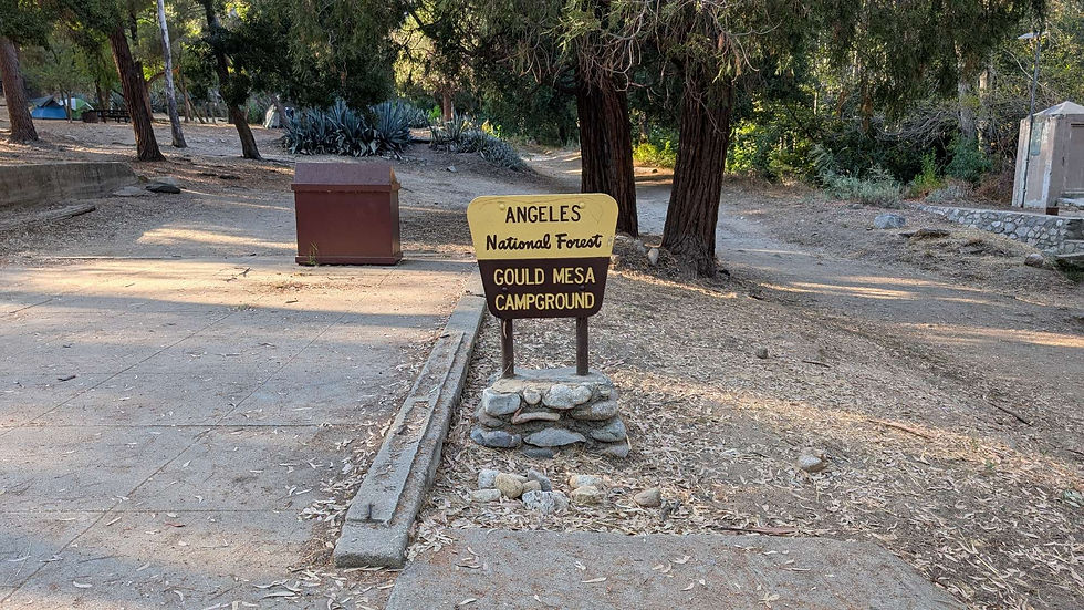
Gould Mesa Trail Camp / Arroyo Seco
My climb from Gould Mesa Trail Camp went from 1,500' to 4,655' Feet in about 13 miles to Red Box at the Mount Wilson Road. There are restrooms and a water faucet. If a hiker chooses they can exit from the trail at the Mount Lowe Rail Trail that is up the Mount Wilson Road from Red Box
The well known Rail Trail a favorite for bicyclist and runners goes back down into the City of Altadena with outstanding views of the entire San Gabriel Valley
On a clear day the Pacific Ocean and Catalina Island Trail are visible.

There are some options for Tenting at Red Box considering hikers have humped 13 Miles straight up from the Gould Mesa Trail Camp. By now the body is feeling the grind, the small picnic area in the Parking lot is inviting a great place to rest up and get hydrated for the next days climb to Charlton Flats on the Old Boyscouts Silver Moccasin Trail.


Comments